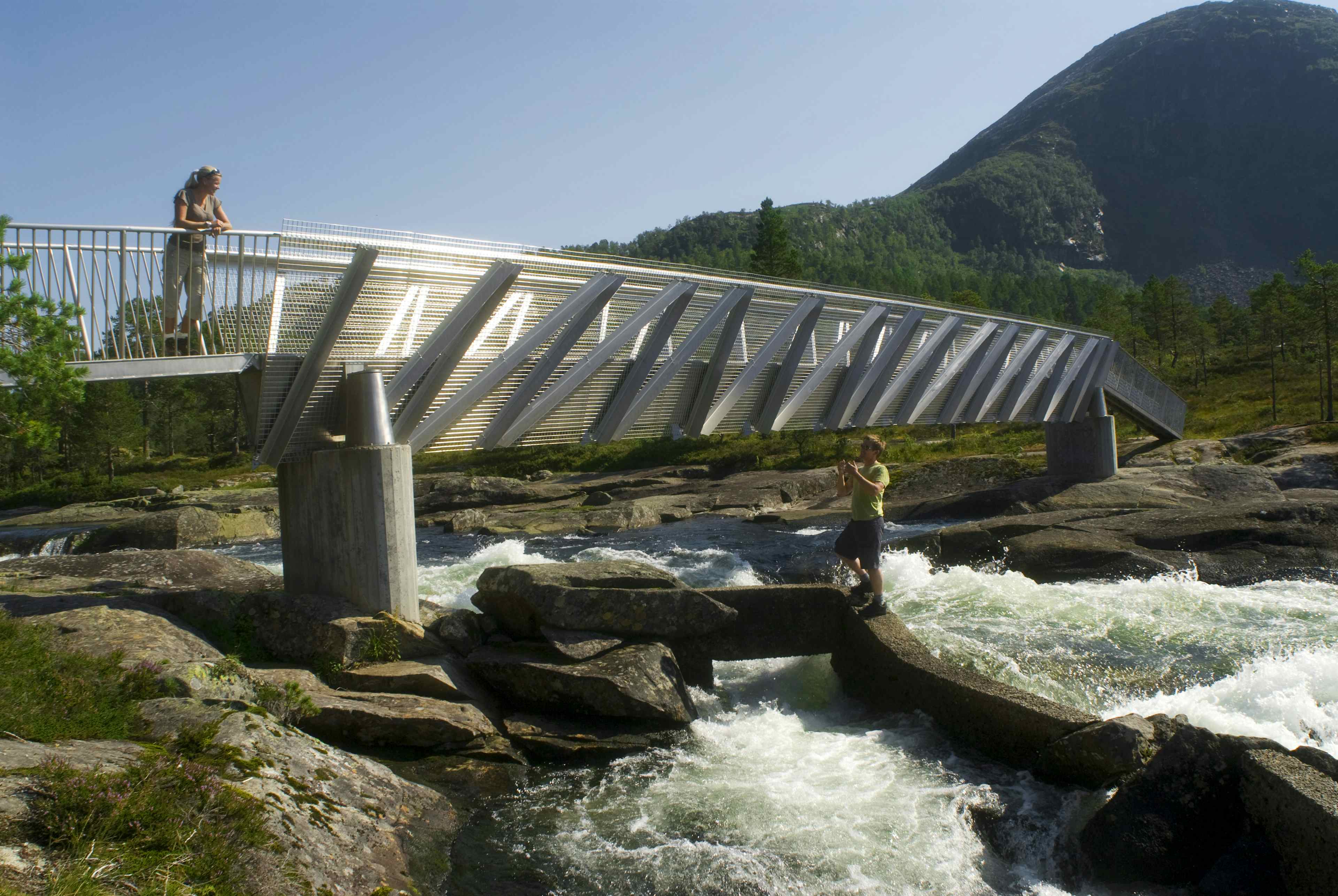
The Waterfall Path, Gaularfjell It is a relatively easy hike with a height difference of approx. 500m and a total length of 21 km. The hike goes from Gaularfjell to Viksdalen via Eldal, Likholefossen, Longstølen and Torsnesstølen. You can start your ramble from any point you like. 4 places are organised with signposts, maps and parking areas. * Torsnesstølen * Longestølen * Likholefossen waterfall * Eldal You can choose to go the whole distance or just parts of it. You can choose to walk between 2, 3 or 4 points. The path goes through a luxuriant landscape rich with wild animal and plant life as well as areas of active farming. The path goes over rough and rugged ground and crosses a number of wooden bridges. It is possible to fish along the river. Fishing licences can be obtained from local businesses / accommodation in the area.
more info: www.fossestien.no
Mountain hikes and walks
Fossestien - The Waterfall Path
The Waterfall Path goes from the Gaular mountains down to Viksdalen. Along its route are 12 waterfalls and 6 lakes.
© C.H. - Visitnorway.com

Contact
- Address:
- Holmen, sentrum
- 6899 BALESTRAND
- Phone:
- 57691255
- Email:
- info@sognefjord.no
- Website:
- www.fossestien.no
Facilities
- Family-friendly:
- Level of difficulty:
- Easy (green)
- Distance:
- 13.1km
- Duration:
- Short (0.5-3h)
- Surface:
- Gravel
- Path
- Terrain:
- River
- Lake
- Mountain area
- Forest area
- Waterfall
- Season:
- Autumn
- Summer
- Spring