Before or after the hike you can stay at Høiland Gard, Hetlevik Maritim, Solvåg Fjordferie, Fossane Gard or spend a night in the luxury tent NorGlamp or at Kleppa Gard & Glamping. All close to nature in Hjelmeland.
At the restaurant Smaken av Ryfylke you can have a delicious meal made by local ingredients, or you can buy freshly made apple juice and apple cider at the fruit farms OmCider and Apal Sideri.
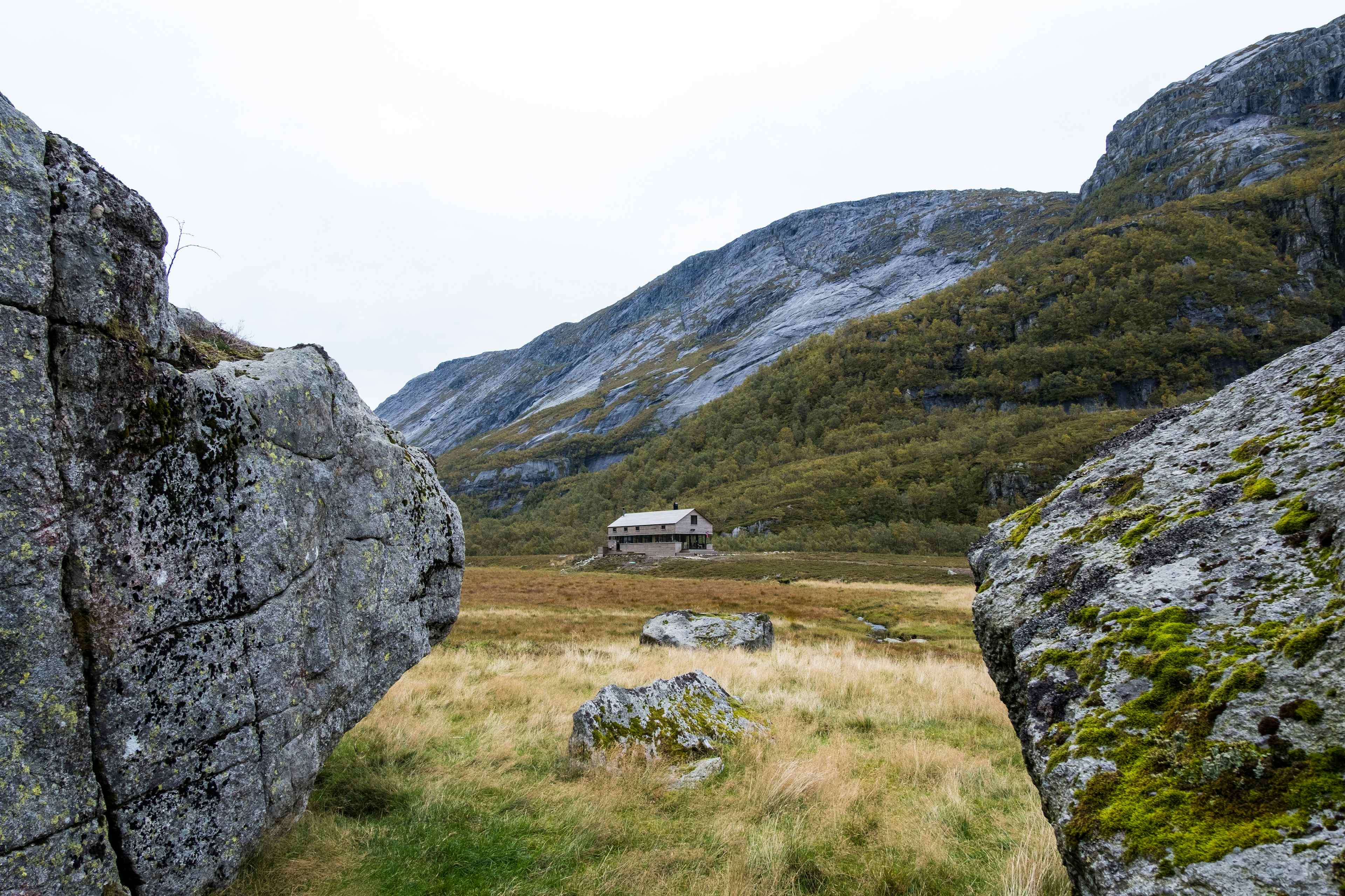
Along the 24 kilometer long route from Nes to Nilsebu you pass three of Stavanger Tourist Association's cabins: Viglesdalen, Stakken and Nilsebu.
Nes to Viglesdalen, 7 km
The road was built by Swedish workers in 1907-1912. The route starts at the parking at Nes. Further east in a steady climb you passes the falls Sendingfossen, Hiafossen and Granefossen. On the opposite side of the river you can see the disused farm Hia. The tourist cabin Viglesdalen is idyllically located between large mountain sides and Viglesdalsvatnet.
Viglesdalen to Stakken, 8.9 km
The route follows the road in an easterly direction over Viglesdalsbøen, up Benkjene and continues over a marked moraine ridge. At Klinkehorten (1010 masl) there is a stone "compass" made by hikers througout the years. The view from the top is incomparable. The route down to the tourist cabin Stakken is very steep.
Stakken to Nilsebu, 8.5 km
The route goes west of Stakkavatnet, and above Dyrgrovvatnet the trail goes between two small lakes and further down to Storhillervatnet. Storhilleren is located under the mountain wall at the northern end of the lake. Archaeologists have identified a settlement over 7000 years old. The trail continues into Storhillerdalen and continues over the mountain and up to Snetonå. From Nilsebuvatnet it is a short way to the tourist cabin Nilsebu.